Nexo Agriculture & Livestock
Every vine row, on the map
We automatically detect vineyard rows from aerial imagery, as a basis to measure and monitor the crop plot by plot.
ForWineries, grape growers and agricultural technical services
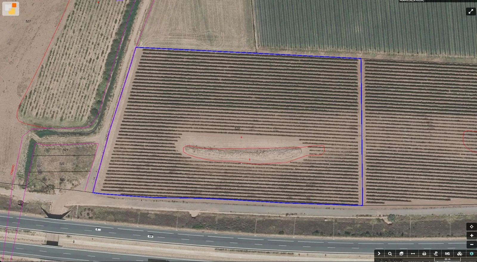
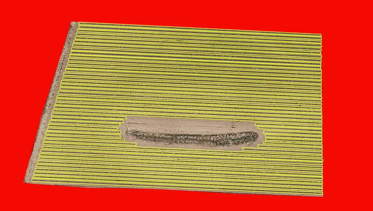 Original plotRows detected by AI
The challenge
Why it matters
Mapping a farm and tracking its condition on foot takes time and is imprecise. Aerial imagery captures everything, but it has to be turned into useful information.
How we solve it
Data, model, solution
- 01
Data
Drone or satellite imagery of the farm.
- 02
Model
Computer vision segmentation that separates vine rows from the soil.
- 03
Solution
A map of each plot with its rows, ready to measure and compare over time.
What's included
In detail
- Automatic detection of every vine row
- Plot maps comparable across seasons
- A basis to measure vigour, gaps and area
- Drone or satellite imagery
FAQ
Questions we often get
What imagery does it work with?
Drone or satellite aerial imagery with enough resolution to distinguish the rows.
Does it work for other row crops?
Yes, the approach adapts to other woody or row crops.
Request information
Facing a similar challenge?
- A member of the team replies within 24 hours
- First conversation with no commitment
- Confidential: we never share your information
Prefer email? info@nexotechlabs.es
Keep exploring
Livestock behaviour with computer vision
We detect in video whether each pig is standing, lying, eating or drinking.
View project → Health & PharmaAI-personalised kidney diet
Diet recommendations for kidney patients based on what they eat.
View project → Health & PharmaProtein molecular dynamics
We simulate how a protein involved in Alzheimer's moves.
View project →